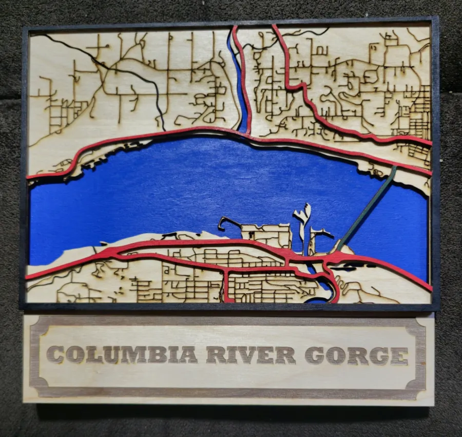
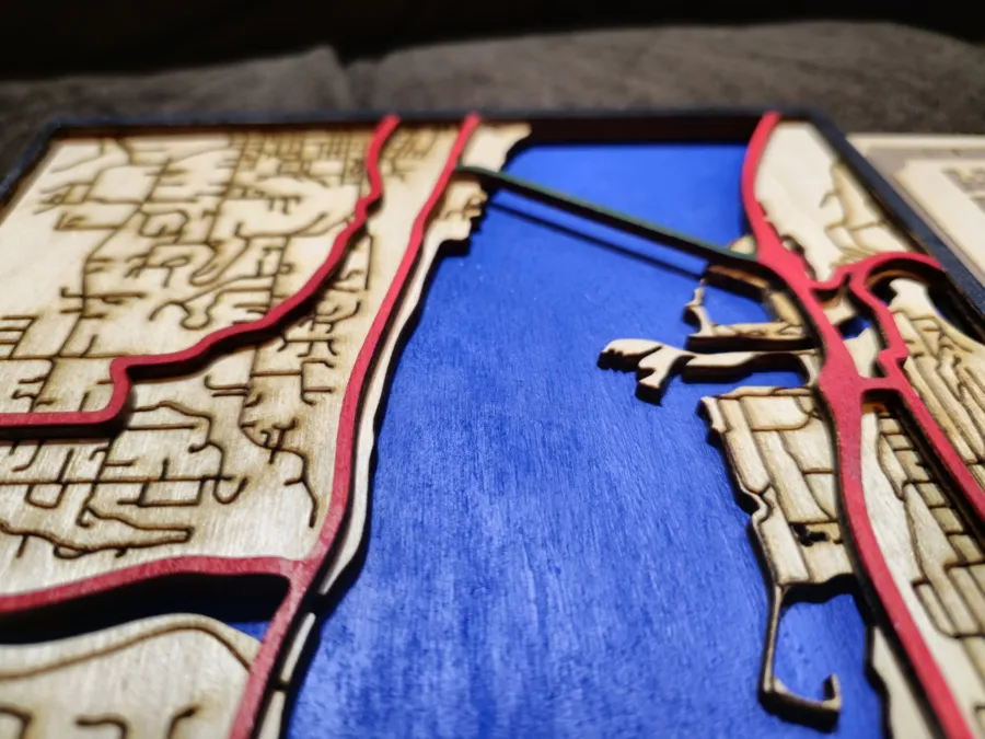
Laser engraved map of the Columbia Gorge at Hood River and White Salmon. It has 3 layers with each being 1/8" thick. The Red being major highways and Green is the bridge, Brown being the arterial roads that are engraved and then then Columbia River is on the bottom layer. It measures about 10 1/2" x 10".
Custom maps are available upon request.